CoKliP
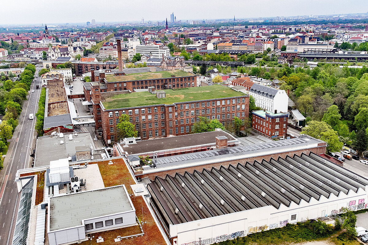
In Leipzig, the project CoKliP, ‘Cockpit for the Climate Mission and Accelerated Planning’, is adding a new component to the city’s existing urban digital twin: a ‘climate twin’ that links data on heat, heavy rainfall, drought and air quality with the existing energy twin. AI-supported ‘what-if’ simulations make it possible to estimate directly how planned construction projects – new school sites, for example – will affect the microclimate in the neighbourhood before anything is built at all. The system is first being tested at three school sites in Leipzig, where the results are also being made visible for children and residents on interactive, walk-on floor maps.
Project partners:
Referat Digitale Stadt (Projektleitung), Stadtplanungsamt, Amt für Stadtgrün und Gewässer, Amt für Umweltschutz, Amt für Geoinformation und Bodenordnung, Leibniz-Institut für Troposphärenforschung, Institut für Angewandte Informatik